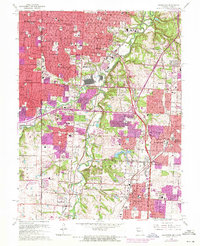
1964 Map of Grandview
USGS Topo · Published 1971About this map
The Blue River winds through this mid-1960s suburban landscape, marking a period of intense residential expansion across the Kansas-Missouri state line. The map highlights the transition of formerly rural Jackson County into a network of planned communities and shopping hubs like Truman Corners and Ruskin Heights. Significant institutional presence is noted at the U S Naval Reservation, while the local social fabric is evidenced by numerous parochial schools such as St Elizabeth Sch and the Ozanam Boys Home.
Find a feature on this map
76 named features on this map. Tap any name to fly to it.
Don’t see what you’re looking for? This feature index may not catch every label — zoom into the map to look around manually.
Map Details
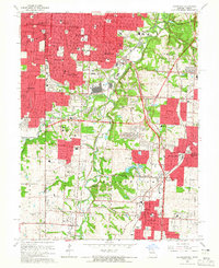
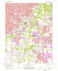
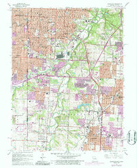
Editions of this 1964 Grandview Map
4 editions found
Other maps of this area

1887 · Harrisonville
USGS Topo · 1:125,000

1887 · Olathe
USGS Topo · 1:125,000

1890 · Kansas City
USGS Topo · 1:125,000

1892 · Harrisonville
USGS Topo · 1:125,000

1893 · Olathe
USGS Topo · 1:125,000

1894 · Kansas City
USGS Topo · 1:125,000

1894 · Harrisonville
USGS Topo · 1:125,000

1894 · Independence
USGS Topo · 1:125,000

1934 · Independence
USGS Topo · 1:24,000

1934 · Grandview
USGS Topo · 1:24,000