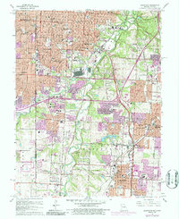
1964 Map of Grandview
USGS Topo · Published 1986About this map
The Blue River valley and its surrounding hillsides show a period of rapid suburban expansion south of Kansas City in this mid-1960s study, with later revisions highlighting the growing density of Ruskin Heights and Grandview. The map captures a mix of established religious and educational institutions, such as St James Seminary and Avila College, alongside recreational sites like Fairyland Park and several golf courses. Significant industrial and military presence is noted at the U S Naval Reservation and along the rail corridors of the St Louis - San Francisco and Kansas City Southern railroads. Older community centers like New Santa Fe, Dallas, and Hickman Mills are visible, often situated at the intersection of evolving transit routes like the Circumferential Freeway and historic corridors like Martha Truman Road.
Find a feature on this map
77 named features on this map. Tap any name to fly to it.
Don’t see what you’re looking for? This feature index may not catch every label — zoom into the map to look around manually.
Map Details
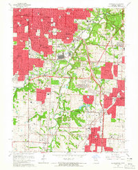
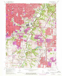
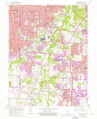
Editions of this 1964 Grandview Map
4 editions found
Other maps of this area

1887 · Harrisonville
USGS Topo · 1:125,000

1887 · Olathe
USGS Topo · 1:125,000

1890 · Kansas City
USGS Topo · 1:125,000

1892 · Harrisonville
USGS Topo · 1:125,000

1893 · Olathe
USGS Topo · 1:125,000

1894 · Kansas City
USGS Topo · 1:125,000

1894 · Harrisonville
USGS Topo · 1:125,000

1894 · Independence
USGS Topo · 1:125,000

1934 · Independence
USGS Topo · 1:24,000

1934 · Grandview
USGS Topo · 1:24,000