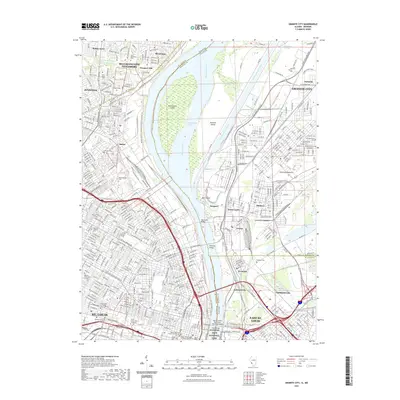
2021 Map of Granite City
USGS Topo · Published 2021About this map
Gateway Arch National Park and the riverfront architecture of St. Louis anchor the western bank of this survey, where the Mississippi River separates Missouri from the industrial corridors of Illinois. The landscape is defined by its massive river infrastructure, including the Chain of Rocks Canal, Mosenthein Island, and a series of historic crossings such as the Eads Bridge and McKinley Bridge. On the Missouri side, vast memorial grounds like Calvary Cem and Bellefontaine Cem dominate the terrain north of the urban core, while the Illinois side shows the complex rail and industrial grids of Granite City, Madison, and Venice. This map provides a detailed view of the American Bottoms floodplain, capturing the density of the bi-state metropolitan area and its transit-driven development.
Find a feature on this map
58 named features on this map. Tap any name to fly to it.
Don’t see what you’re looking for? This feature index may not catch every label — zoom into the map to look around manually.
Map Details
Editions of this 2021 Granite City Map
This is the sole edition of this map. No revisions or reprints were ever made.
Other maps of this area

1888 · St. Louis
USGS Topo · 1:62,500

1927 · Alton
USGS Topo · 1:62,500

1927 · St. Charles
USGS Topo · 1:62,500

1931 · French Village
USGS Topo · 1:24,000

1933 · Granite City
USGS Topo · 1:24,000

1933 · Jefferson Barracks
USGS Topo · 1:24,000

1933 · Cahokia
USGS Topo · 1:24,000

1933 · Clayton
USGS Topo · 1:24,000

1933 · Saint Charles
USGS Topo · 1:62,500

1934 · Cahokia
USGS Topo · 1:24,000