Loading...
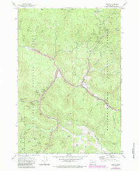
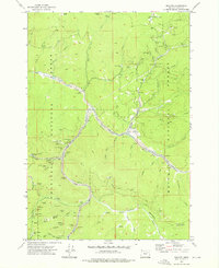
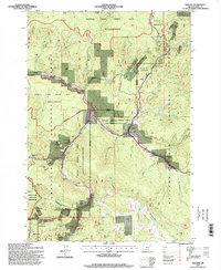
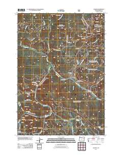
Loading map...1972 Map of Granite
USGS Topo · Published 1985About this map
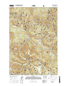
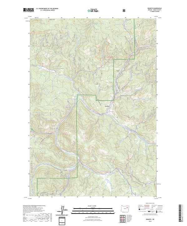
Gold mining operations and timbered slopes define this landscape along the border of the Umatilla National Forest and Wallowa-Whitman National Forest. The town of Granite sits as a central hub, surrounded by a high density of lode and placer claims that speak to the area's extraction history. Notable infrastructure like the Fremont Powerhouse and the Scandia Tunnel supported these industrial efforts, while the Granite Cem and the Alamo (Site) offer tangible connections for genealogists researching the families who worked these claims.
Find a feature on this map
81 named features on this map. Tap any name to fly to it.
Don’t see what you’re looking for? This feature index may not catch every label — zoom into the map to look around manually.
Map Details
Date Portrayed1972
Date Published1985
PublisherU.S. Geological Survey
Map TypeTopographic
Scale1:24,000
Physical Dimensions21.9 x 26.9 inches
Editions of this 1972 Granite Map
2 editions found
Historical Maps of Granite Through Time
7 maps found

Featured Locations
Source Details
SourceU.S. Geological Survey
CopyrightPublic Domain