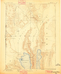
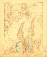
1894 Map of Granite Range
USGS Topo · Published 1901About this map
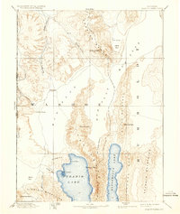
The Granite Range dominates this late-nineteenth-century Nevada landscape, where the high desert terrain of Washoe is defined by stark basins and sharp peaks. Compiled from the earlier Wheeler and King surveys, the map highlights the proximity of Pyramid Lake and Winnemucca Lake, separated by the Lake Range. Distinctive landmarks like The Needles and Terrace Point provide reference points along the shoreline of Pyramid Lake, while the interior is marked by the presence of vital water sources like Sheep-head Spring and Hot Springs. Early industry is noted at the Salt Works located within the Mud Flat, illustrating how the region's alkaline geography supported early mineral extraction. This survey also documents the Nevada California border, tracing it through high points like State-line Peak and the drainage of Smoke Creek.
Find a feature on this map
33 named features on this map. Tap any name to fly to it.
Don’t see what you’re looking for? This feature index may not catch every label — zoom into the map to look around manually.
Map Details
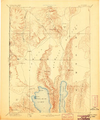
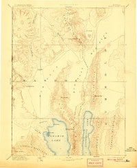
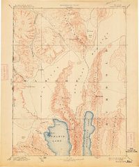
Editions of this 1894 Granite Range Map
7 editions found

Other maps of this area

1886 · Alturas
USGS Topo · 1:250,000

1886 · Honey Lake
USGS Topo · 1:250,000

1886 · Disaster
USGS Topo · 1:250,000

1886 · Granite Range
USGS Topo · 1:250,000

1889 · Long Valley
USGS Topo · 1:250,000

1890 · Wadsworth
USGS Topo · 1:125,000

1890 · Sierraville
USGS Topo · 1:125,000

1891 · Honey Lake
USGS Topo · 1:250,000

1891 · Reno
USGS Topo · 1:125,000

1892 · Wadsworth
USGS Topo · 1:125,000