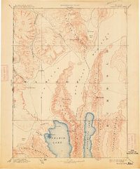
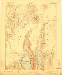
1894 Map of Granite Range
USGS Topo · Published 1914About this map
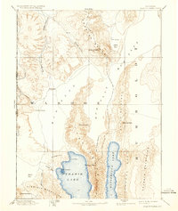
Pyramid Lake and the long, narrow Winnemucca Lake dominate this basin and range landscape in northwest Nevada. Surveyed in the late 19th century, the map reveals a wilderness of massive alkaline basins and steep, north-south running mountain chains including the Lake Range and the Granite Range. Human industry is sparse, notably represented by the Salt Works located along the edge of a massive Mud Flat.
Find a feature on this map
34 named features on this map. Tap any name to fly to it.
Don’t see what you’re looking for? This feature index may not catch every label — zoom into the map to look around manually.
Map Details
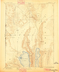
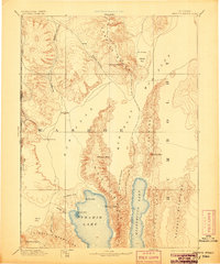
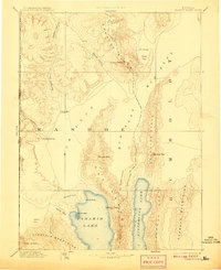
Editions of this 1894 Granite Range Map
7 editions found

Other maps of this area

1886 · Alturas
USGS Topo · 1:250,000

1886 · Honey Lake
USGS Topo · 1:250,000

1886 · Disaster
USGS Topo · 1:250,000

1886 · Granite Range
USGS Topo · 1:250,000

1889 · Long Valley
USGS Topo · 1:250,000

1890 · Wadsworth
USGS Topo · 1:125,000

1890 · Sierraville
USGS Topo · 1:125,000

1891 · Honey Lake
USGS Topo · 1:250,000

1891 · Reno
USGS Topo · 1:125,000

1892 · Wadsworth
USGS Topo · 1:125,000