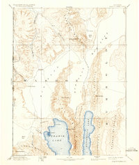
1894 Map of Granite Range
USGS Topo · Published 1934About this map
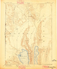
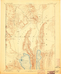
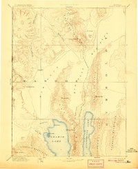
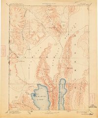
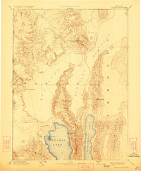
Pyramid Lake and the long, slender profile of Winnemucca Lake dominate the southern portion of this high-desert landscape in the late nineteenth century. The map illustrates a harsh environment of internal drainage where water is the primary arbiter of industry and travel, evidenced by the Salt Works situated on the edge of the expansive Mud Flat. These alkaline basins, including multiple Alkali Flats, separate dramatic mountain chains like the Lake Range and the Granite Range, where Granite Peak serves as a prominent landmark.
Find a feature on this map
33 named features on this map. Tap any name to fly to it.
Don’t see what you’re looking for? This feature index may not catch every label — zoom into the map to look around manually.
Map Details
Editions of this 1894 Granite Range Map
7 editions found

Other maps of this area

1886 · Alturas
USGS Topo · 1:250,000

1886 · Honey Lake
USGS Topo · 1:250,000

1886 · Disaster
USGS Topo · 1:250,000

1886 · Granite Range
USGS Topo · 1:250,000

1889 · Long Valley
USGS Topo · 1:250,000

1890 · Wadsworth
USGS Topo · 1:125,000

1890 · Sierraville
USGS Topo · 1:125,000

1891 · Honey Lake
USGS Topo · 1:250,000

1891 · Reno
USGS Topo · 1:125,000

1892 · Wadsworth
USGS Topo · 1:125,000