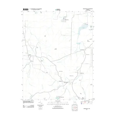
2011 Map of Graniteville
USGS Topo · Published 2011About this map
Graniteville and Ghermanville anchor the southern reaches of this landscape, an area defined by its complex hydrology and residual mining infrastructure. The industrial history of the region is evident at the Iron Mountain Tailings Pond and the extensive network of reservoirs, including Hematite Lake and Snow Hollow Lake. High points like Buford Mountain and Pilot Knob overlook a terrain carved by the Saint Francis River and the East Fork Black River, where small settlements like Middlebrook and Pin Hook established themselves along local corridors. For the genealogist or local historian, the presence of the Edison Cemetery, Thomas Cemetery, and Link Cemetery offers valuable markers of the families who settled this part of Missouri. The transition between the older namesake Iron Mountain and the residential developments at Holiday Shores illustrates the evolving use of the land from heavy resource extraction to recreation and rural living in the early twenty-first century.
Find a feature on this map
69 named features on this map. Tap any name to fly to it.
Don’t see what you’re looking for? This feature index may not catch every label — zoom into the map to look around manually.
Map Details
Editions of this 2011 Graniteville Map
This is the sole edition of this map. No revisions or reprints were ever made.
Other maps of this area

1905 · Bonneterre
USGS Topo · 1:62,500

1906 · Potosi
USGS Topo · 1:62,500

1924 · Edgehill
USGS Topo · 1:62,500

1926 · Edgehill
USGS Topo · 1:62,500

1937 · Ironton
USGS Topo · 1:48,000

1945 · Ironton
USGS Topo · 1:62,500

1946 · Ironton
USGS Topo · 1:62,500

1949 · Rolla
USGS Topo · 1:250,000

1953 · Ironton
USGS Topo · 1:62,500

1953 · Rolla
USGS Topo · 1:250,000