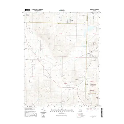
2015 Map of Graniteville
USGS Topo · Published 2015About this map
Iron Mountain Lake and the rugged reaches of the Saint Francois Mountains define this landscape in the southeastern Missouri interior. The map documents the region's industrial and geological legacy, notably through the Iron Mountain Tailings Pond and the proximity of the Mark Twain National Forest. Local communities like Graniteville, Middlebrook, and Ghermanville are situated among prominent heights such as Buford Mtn and Bald Knob.
Find a feature on this map
91 named features on this map. Tap any name to fly to it.
Don’t see what you’re looking for? This feature index may not catch every label — zoom into the map to look around manually.
Map Details
Editions of this 2015 Graniteville Map
This is the sole edition of this map. No revisions or reprints were ever made.
Other maps of this area

1905 · Bonneterre
USGS Topo · 1:62,500

1906 · Potosi
USGS Topo · 1:62,500

1924 · Edgehill
USGS Topo · 1:62,500

1926 · Edgehill
USGS Topo · 1:62,500

1937 · Ironton
USGS Topo · 1:48,000

1945 · Ironton
USGS Topo · 1:62,500

1946 · Ironton
USGS Topo · 1:62,500

1949 · Rolla
USGS Topo · 1:250,000

1953 · Ironton
USGS Topo · 1:62,500

1953 · Rolla
USGS Topo · 1:250,000