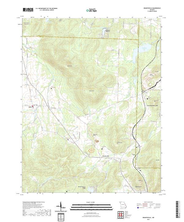
2021 Map of Graniteville
USGS Topo · Published 2021About this map
The Saint Francois Mountains define the topography of this region, where the mineral-rich history of Iron County is written into the landscape. Industrial remnants like the Iron Mountain Tailings Pond and Ozark Ore Company Lake sit alongside the namesake peaks of Iron Mtn and Little Iron Mtn, reflecting a long heritage of extraction. The settlement pattern is anchored by Graniteville and Belleview, with numerous family and community burial grounds, including Graniteville Cem and Thomas Cem, providing essential points of reference for genealogists.
Find a feature on this map
92 named features on this map. Tap any name to fly to it.
Don’t see what you’re looking for? This feature index may not catch every label — zoom into the map to look around manually.
Map Details
Editions of this 2021 Graniteville Map
This is the sole edition of this map. No revisions or reprints were ever made.
Other maps of this area

1905 · Bonneterre
USGS Topo · 1:62,500

1906 · Potosi
USGS Topo · 1:62,500

1924 · Edgehill
USGS Topo · 1:62,500

1926 · Edgehill
USGS Topo · 1:62,500

1937 · Ironton
USGS Topo · 1:48,000

1945 · Ironton
USGS Topo · 1:62,500

1946 · Ironton
USGS Topo · 1:62,500

1949 · Rolla
USGS Topo · 1:250,000

1953 · Ironton
USGS Topo · 1:62,500

1953 · Rolla
USGS Topo · 1:250,000