Loading...
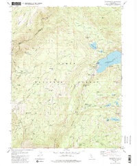
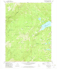
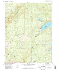
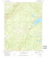
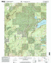
Loading map...1982 Map of Graniteville
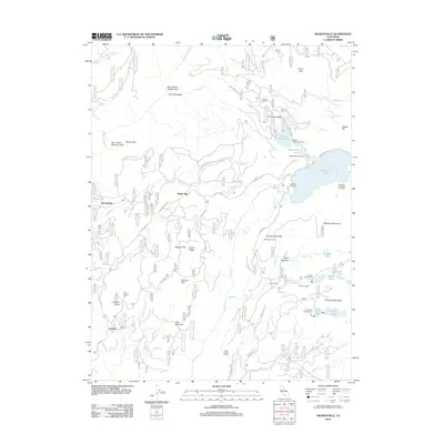
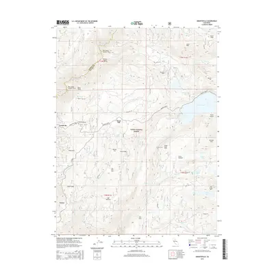
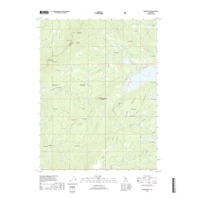
USGS Topo · Published 1986About this map
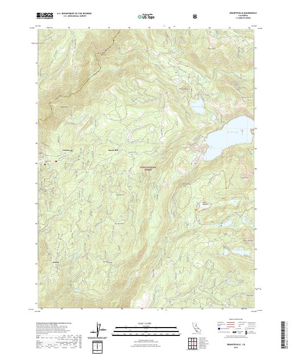
The Sierra Nevada mining landscape of Nevada and Sierra Counties is captured here in the early 1980s, centered on the historic settlement of Graniteville. This area is defined by a dense network of late 19th and early 20th-century extraction sites, including the Hotwater Mine, Yellow Metal Mine, and the Snowflower Mine. The map documents the sites of former industrial operations like the Marsh Mill and Old Condon Mill, indicating the scale of processing that once occurred along the mountain forks.
Find a feature on this map
76 named features on this map. Tap any name to fly to it.
Don’t see what you’re looking for? This feature index may not catch every label — zoom into the map to look around manually.
Map Details
Date Portrayed1982
Date Published1986
PublisherU.S. Geological Survey
Map TypeTopographic
Scale1:24,000
Physical Dimensions21.9 x 26.6 inches
Editions of this 1982 Graniteville Map
4 editions found
Historical Maps of Graniteville Through Time
6 maps found
Featured Locations
Source Details
SourceU.S. Geological Survey
CopyrightPublic Domain