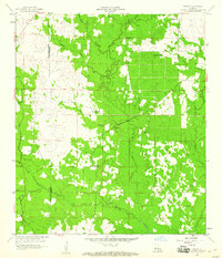
1959 Map of Grant
USGS Topo · Published 1960About this map
Grant serves as the central point of this 1950s survey of the wooded landscape straddling the Beauregard Parish and Allen Parish line. The terrain is defined by a dense network of waterways, including Whisky Chitto Creek and Tenmile Creek, which are joined by numerous smaller streams like Little Soapstone Branch and Sugar Creek.
Find a feature on this map
26 named features on this map. Tap any name to fly to it.
Don’t see what you’re looking for? This feature index may not catch every label — zoom into the map to look around manually.
Map Details
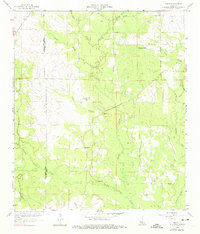
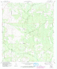
Editions of this 1959 Grant Map
3 editions found
Other maps of this area

1935 · Mittie
USGS Topo · 1:31,680

1947 · Steep Gully
USGS Topo · 1:31,680

1947 · Pine Chapel
USGS Topo · 1:31,680

1947 · Elizabeth
USGS Topo · 1:31,680

1947 · Grant
USGS Topo · 1:31,680

1947 · Bundick
USGS Topo · 1:31,680

1947 · Sugartown
USGS Topo · 1:31,680

1947 · Sugrue
USGS Topo · 1:31,680

1947 · Pitkin
USGS Topo · 1:31,680

1948 · Grant
USGS Topo · 1:24,000