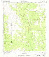
1959 Map of Grant
USGS Topo · Published 1975About this map
The community of Grant serves as the central point for this mid-century look at the borderlands of Beauregard and Allen Parishes. The landscape is defined by the winding course of Whisky Chitto Creek and Sixmile Creek, which carve through the timbered terrain. This era of settlement is marked by a network of rural hubs, often centered on local gathering places like Arkadelphia Church and Hopewell Church. Genealogists will find significant value in the documentation of several family-named burial grounds, including Martin Cemetery and Horton Cemetery. The map also captures infrastructure critical to local land management, such as a Gaging Station on the creek and various Gravel Pits that suggest the primary industries of the period. The absence of major highways highlights the reliance on local roads and natural drainage patterns like Soapstone Creek and Tenmile Creek.
Find a feature on this map
25 named features on this map. Tap any name to fly to it.
Don’t see what you’re looking for? This feature index may not catch every label — zoom into the map to look around manually.
Map Details
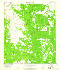
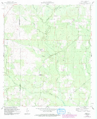
Editions of this 1959 Grant Map
3 editions found
Other maps of this area

1935 · Mittie
USGS Topo · 1:31,680

1947 · Steep Gully
USGS Topo · 1:31,680

1947 · Pine Chapel
USGS Topo · 1:31,680

1947 · Elizabeth
USGS Topo · 1:31,680

1947 · Grant
USGS Topo · 1:31,680

1947 · Bundick
USGS Topo · 1:31,680

1947 · Sugartown
USGS Topo · 1:31,680

1947 · Sugrue
USGS Topo · 1:31,680

1947 · Pitkin
USGS Topo · 1:31,680

1948 · Grant
USGS Topo · 1:24,000