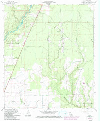
1960 Map of Guy
USGS Topo · Published 1993About this map
The Calcasieu River and its meandering tributaries, including Curtis Creek and Gum Branch, define the landscape of Allen Parish in the mid-20th century. This survey, revised in the early 1990s, documents a transition from rural timber and farming lands to industrial utility, evidenced by several Pumping Sta locations and a prominent Pipeline corridor. Small communities such as Ward, Guy, and Foley anchor the road networks, while the remnants of older transport are found at the Old RR Br crossing.
Find a feature on this map
26 named features on this map. Tap any name to fly to it.
Don’t see what you’re looking for? This feature index may not catch every label — zoom into the map to look around manually.
Map Details
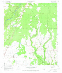
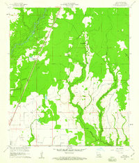
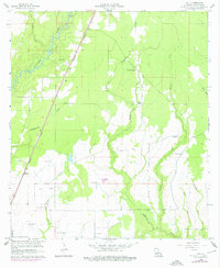
Editions of this 1960 Guy Map
4 editions found
Other maps of this area

1935 · Beaver
USGS Topo · 1:31,680

1935 · Oakdale
USGS Topo · 1:31,680

1942 · Oakdale
USGS Topo · 1:62,500

1947 · Fruge Lake
USGS Topo · 1:31,680

1947 · Foley
USGS Topo · 1:31,680

1947 · Oberlin
USGS Topo · 1:31,680

1947 · Pine Chapel
USGS Topo · 1:31,680

1947 · Bond
USGS Topo · 1:31,680

1947 · Elizabeth
USGS Topo · 1:31,680

1948 · Elizabeth
USGS Topo · 1:24,000