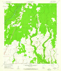
1960 Map of Guy
USGS Topo · Published 1973About this map
The Missouri Pacific railroad cuts a straight line through this Allen Parish landscape, connecting the small settlements of Guy, Ward, and Foley amidst a network of creek bottoms and timbered tracts. The land is defined by the winding course of the Calcasieu River and its many tributaries, including Mitchell Creek and Castor Creek. This survey reveals a deeply rooted community structure, evidenced by the distribution of numerous family and church burial grounds such as McGee Cem, Reed Cem, and Durose Cem. Religious life is anchored by St Johns Chapel and the McGee Mission, while the presence of several Pumping Sta and an Oil Well indicate the importance of the local petroleum industry during the mid-century. The map also records the location of Chinquapin, providing a detailed look at the rural Louisiana topography before further modern development changed the character of these small parishes.
Find a feature on this map
21 named features on this map. Tap any name to fly to it.
Don’t see what you’re looking for? This feature index may not catch every label — zoom into the map to look around manually.
Map Details
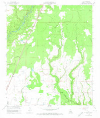
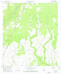
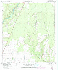
Editions of this 1960 Guy Map
4 editions found
Other maps of this area

1935 · Beaver
USGS Topo · 1:31,680

1935 · Oakdale
USGS Topo · 1:31,680

1942 · Oakdale
USGS Topo · 1:62,500

1947 · Fruge Lake
USGS Topo · 1:31,680

1947 · Foley
USGS Topo · 1:31,680

1947 · Oberlin
USGS Topo · 1:31,680

1947 · Pine Chapel
USGS Topo · 1:31,680

1947 · Bond
USGS Topo · 1:31,680

1947 · Elizabeth
USGS Topo · 1:31,680

1948 · Elizabeth
USGS Topo · 1:24,000