
1949 Map of Grant
USGS Topo · Published 1968About this map
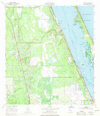
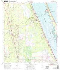
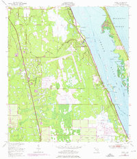
Valkaria Naval Air Station anchors the central coast of this mid-century survey, a military footprint established during a period of transition for Brevard County. The landscape is defined by the broad Indian River and a network of lagoons and marshes, including Goat Creek and Trout Creek. These waters are sheltered from the Atlantic Ocean by the narrow barrier strip containing Washburn Cove and Snug Harbor.
Find a feature on this map
40 named features on this map. Tap any name to fly to it.
Don’t see what you’re looking for? This feature index may not catch every label — zoom into the map to look around manually.
Map Details
Editions of this 1949 Grant Map
4 editions found
Other maps of this area

1949 · Melbourne West
USGS Topo · 1:24,000

1949 · Fellsmere
USGS Topo · 1:24,000

1949 · Melbourne East
USGS Topo · 1:24,000

1949 · Sebastian NW
USGS Topo · 1:24,000

1949 · Sebastian
USGS Topo · 1:24,000

1951 · Sebastian NW
USGS Topo · 1:24,000

1951 · Melbourne East
USGS Topo · 1:24,000

1951 · Fellsmere
USGS Topo · 1:24,000

1951 · Melbourne West
USGS Topo · 1:24,000

1951 · Grant
USGS Topo · 1:24,000