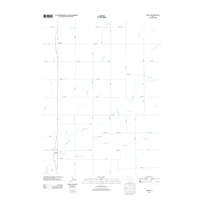
2013 Map of Grant
USGS Topo · Published 2013About this map
The W Nodaway River carves a winding path through this western Iowa landscape, serving as a primary geographic anchor for the rural communities of Montgomery County. The settlement of Grant sits near the river's bend in the southwest, supported by the Grant Access point, while the smaller hamlets of Lyman and Reno anchor the northern and eastern reaches of the quadrangle.
Find a feature on this map
45 named features on this map. Tap any name to fly to it.
Don’t see what you’re looking for? This feature index may not catch every label — zoom into the map to look around manually.
Map Details
Editions of this 2013 Grant Map
This is the sole edition of this map. No revisions or reprints were ever made.
Other maps of this area

1954 · Omaha
USGS Topo · 1:250,000

1957 · Omaha
USGS Topo · 1:250,000

1958 · Omaha
USGS Topo · 1:250,000

1971 · Anita SW
USGS Topo · 1:24,000

1971 · Lewis
USGS Topo · 1:24,000

1971 · Massena
USGS Topo · 1:24,000

1978 · Wallin
USGS Topo · 1:24,000

1978 · Griswold NE
USGS Topo · 1:24,000

1980 · Grant
USGS Topo · 1:24,000
1980 · Carbon
USGS Topo · 1:24,000