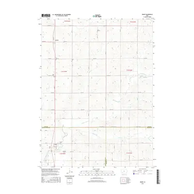
2015 Map of Grant
USGS Topo · Published 2015About this map
The W Nodaway River and its numerous tributaries, including Prosser Cr and Threemile Cr, define the drainage patterns across this Montgomery and Cass County borderland. The small settlement of Grant serves as a local hub near the southern edge, while Lyman sits further north along the primary road network. This landscape is notably dense with burial sites, suggesting a long history of family homesteads and township development. Genealogists can trace several distinct community markers such as Saint Johns Cem, Newtons Grove Cem, and Noble Center Cem. The rural grid is well-established by a system of named roads like Seattle Rd and Wichita Rd, which connect these small settlements and burial grounds across the undulating Iowa countryside.
Find a feature on this map
47 named features on this map. Tap any name to fly to it.
Don’t see what you’re looking for? This feature index may not catch every label — zoom into the map to look around manually.
Map Details
Editions of this 2015 Grant Map
This is the sole edition of this map. No revisions or reprints were ever made.
Other maps of this area

1954 · Omaha
USGS Topo · 1:250,000

1957 · Omaha
USGS Topo · 1:250,000

1958 · Omaha
USGS Topo · 1:250,000
1971 · Anita SW
USGS Topo · 1:24,000
1971 · Lewis
USGS Topo · 1:24,000
1971 · Massena
USGS Topo · 1:24,000
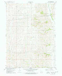
1978 · Wallin
USGS Topo · 1:24,000
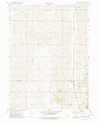
1978 · Griswold NE
USGS Topo · 1:24,000
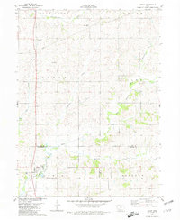
1980 · Grant
USGS Topo · 1:24,000
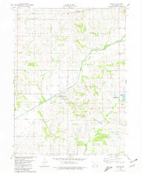
1980 · Carbon
USGS Topo · 1:24,000