
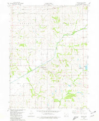
2022 Map of Grant
USGS Topo · Published 2022About this map
Grant and Lyman anchor this southwestern Iowa landscape where the borders of Cass, Montgomery, and Adams counties converge. The terrain is defined by the drainage basins of the West Nodaway River and W Nodaway River, which are fed by numerous small tributaries including Sevenmile Cr, Threemile Cr, and Williams Cr. This area maintains a strong connection to its pioneer and family history, evidenced by the high density of rural burial grounds scattered across the townships.
Find a feature on this map
48 named features on this map. Tap any name to fly to it.
Don’t see what you’re looking for? This feature index may not catch every label — zoom into the map to look around manually.
Map Details
Editions of this 2022 Grant Map
This is the sole edition of this map. No revisions or reprints were ever made.
Other maps of this area

1954 · Omaha
USGS Topo · 1:250,000

1957 · Omaha
USGS Topo · 1:250,000

1958 · Omaha
USGS Topo · 1:250,000

1971 · Anita SW
USGS Topo · 1:24,000

1971 · Lewis
USGS Topo · 1:24,000

1971 · Massena
USGS Topo · 1:24,000

1978 · Wallin
USGS Topo · 1:24,000

1978 · Griswold NE
USGS Topo · 1:24,000

1980 · Grant
USGS Topo · 1:24,000
1980 · Carbon
USGS Topo · 1:24,000