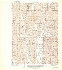
1942 Map of Grant City
USGS Topo · Published 1942About this map
The Grand River and its various forks carve through the agricultural landscape of northern Missouri, anchoring a network of small farm-to-market settlements surveyed just before the 1940s. At the heart of Worth County, Grant City sits as a primary hub, connected by Highway 4 and the Chicago Burlington and Quincy railroad, which tracks south toward Albany. This area is characterized by a high density of rural schoolhouses and neighborhood churches, such as Smithton Sch and New Hope Ch, reflecting a time when local education and worship were centered within walking or wagon distance of family homesteads.
Find a feature on this map
100 named features on this map. Tap any name to fly to it.
Don’t see what you’re looking for? This feature index may not catch every label — zoom into the map to look around manually.
Map Details
Editions of this 1942 Grant City Map
This is the sole edition of this map. No revisions or reprints were ever made.
Other maps of this area
1925 · Pattonsburg
USGS Topo · 1:62,500
1925 · Stanberry
USGS Topo · 1:62,500
1925 · Darlington
USGS Topo · 1:62,500
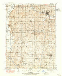
1939 · Stanberry
USGS Topo · 1:62,500
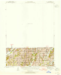
1940 · Blockton
USGS Topo · 1:62,500
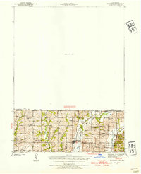
1940 · Bedford
USGS Topo · 1:62,500
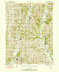
1940 · Parnell
USGS Topo · 1:62,500
1943 · Bedford
USGS Topo · 1:62,500
1943 · Parnell
USGS Topo · 1:62,500
1943 · Grant City
USGS Topo · 1:62,500