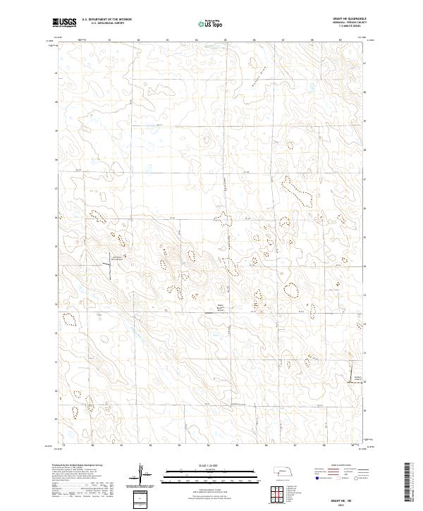
2021 Map of Grant NE
USGS Topo · Published 2021About this map
Stinking Water Cr winds through the southwestern corner of this Perkins County landscape, carving through the high plains of western Nebraska. The terrain is characterized by broad draws and seasonal drainage patterns, most notably Roscoe Draw in the northern reaches. This rural expanse is defined by a rigid section-line road network, including the prominent Madrid-Roscoe Rd and Roscoe Rd, which organize the agricultural properties. Evidence of the importance of private aviation in this remote farming region is clear, with multiple small airstrips located across the quadrangle. These include the Cornelius Farm Airport, Regier Brothers Airport, and Jantzen Airport, each serving as a localized hub for agricultural transport or private travel amidst the expansive fields of the Nebraska panhandle.
Find a feature on this map
25 named features on this map. Tap any name to fly to it.
Don’t see what you’re looking for? This feature index may not catch every label — zoom into the map to look around manually.
Map Details
Editions of this 2021 Grant NE Map
This is the sole edition of this map. No revisions or reprints were ever made.
Other maps of this area

1897 · Ogallala
USGS Topo · 1:125,000

1898 · Paxton
USGS Topo · 1:125,000

1900 · Ogallala
USGS Topo · 1:125,000

1901 · Paxton
USGS Topo · 1:125,000

1954 · McCook
USGS Topo · 1:250,000

1954 · North Platte
USGS Topo · 1:250,000

1956 · North Platte
USGS Topo · 1:250,000

1957 · North Platte
USGS Topo · 1:250,000

1957 · McCook
USGS Topo · 1:250,000

1958 · McCook
USGS Topo · 1:250,000