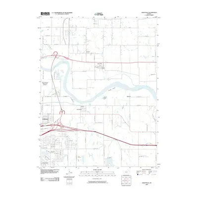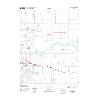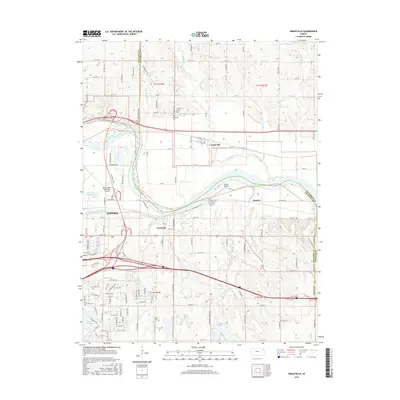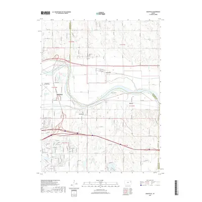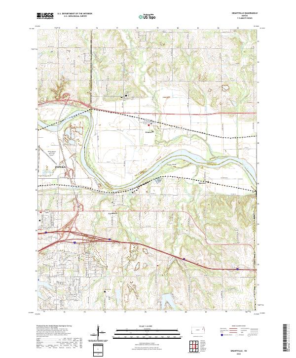
2022 Map of Grantville
USGS Topo · Published 2022About this map
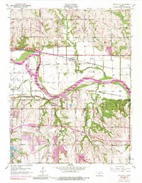
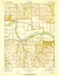
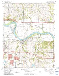
The Kansas River flows eastward through this landscape, marking the traditional divide between Jefferson and Shawnee counties. North of the river, the settlement of Grantville is situated on a broad floodplain between Muddy Creek and Indian Creek. This area is notable for its concentration of local history markers, including the Grantville Cemetery and the Old Grantville Cemetery. South of the river, the community of Tecumseh and the small siding of Spencer occupy the higher ground above the river bluffs.
Find a feature on this map
115 named features on this map. Tap any name to fly to it.
Don’t see what you’re looking for? This feature index may not catch every label — zoom into the map to look around manually.
Map Details
Editions of this 2022 Grantville Map
This is the sole edition of this map. No revisions or reprints were ever made.
Historical Maps of Topeka Through Time
8 maps found