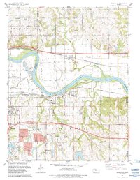
1983 Map of Grantville
USGS Topo · Published 1984About this map
The Kansas River flows eastward across this 1980s landscape, serving as a natural boundary between the unincorporated community of Grantville in Jefferson County and the township of Tecumseh to the south. This era is defined by a dense transportation and utility infrastructure, including the Kansas Turnpike and multiple major rail lines like the St Louis Union Pacific Southwestern and the Atchison Topeka and Santa Fe.
Find a feature on this map
40 named features on this map. Tap any name to fly to it.
Don’t see what you’re looking for? This feature index may not catch every label — zoom into the map to look around manually.
Map Details
Editions of this 1983 Grantville Map
This is the sole edition of this map. No revisions or reprints were ever made.
Other maps of this area

1885 · Lawrence
USGS Topo · 1:125,000

1886 · Oskaloosa
USGS Topo · 1:125,000

1888 · Oskaloosa
USGS Topo · 1:125,000

1889 · Burlingame
USGS Topo · 1:125,000

1889 · Topeka
USGS Topo · 1:125,000

1889 · Lawrence
USGS Topo · 1:125,000

1894 · Burlingame
USGS Topo · 1:125,000

1894 · Oskaloosa
USGS Topo · 1:125,000

1894 · Topeka
USGS Topo · 1:125,000

1947 · Lawrence
USGS Topo · 1:250,000