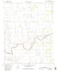
1963 Map of Gravelly Ford
USGS Topo · Published 1985About this map
The San Joaquin River snakes through the heart of this Central Valley landscape, defining the boundary between Madera and Fresno counties. This 1963 survey captures a highly managed agricultural environment, where a grid of rural avenues like Avenue 8 and Clinton Ave segments the land into large tracts serviced by numerous wells and gas wells. The presence of the Gravelly Ford Canal (Abandoned) suggests shifting water management priorities in the mid-20th century, even as the Herndon Canal and Cottonwood Creek continue to influence the local hydrology. Social life in these farming communities centers around landmarks such as La Vina Sch and Sunset Sch, while the Gravelly Ford Ranch stands near the river's edge, highlighting the area's long-standing ranching and irrigation history.
Find a feature on this map
31 named features on this map. Tap any name to fly to it.
Don’t see what you’re looking for? This feature index may not catch every label — zoom into the map to look around manually.
Map Details
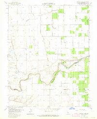
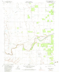
Editions of this 1963 Gravelly Ford Map
3 editions found
Other maps of this area

1920 · Bonita Ranch
USGS Topo · 1:31,680

1921 · Mendota
USGS Topo · 1:31,680

1921 · Bonita Ranch
USGS Topo · 1:31,680

1922 · Kentucky Well
USGS Topo · 1:31,680

1922 · Madera
USGS Topo · 1:31,680

1923 · Biola
USGS Topo · 1:31,680

1924 · Jamesan
USGS Topo · 1:31,680

1924 · Tranquillity
USGS Topo · 1:31,680

1924 · Gravelly Ford
USGS Topo · 1:31,680

1924 · Mendota
USGS Topo · 1:31,680