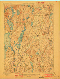
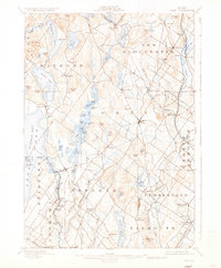
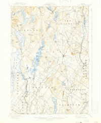
1898 Map of Gray
USGS Topo · Published 1902About this map
Sabbathday Lake and the surrounding hills of Cumberland County define this late 19th-century landscape, where a network of small villages flourished along the brooks and ridges north of Portland. The topography is dominated by glacial features, from the Jordan Bay shoreline to the prominent heights of Rattlesnake Mtn. and Gloucester Hill. This period shows a well-established agrarian and industrial interior, with numerous small centers like Dry Mills, Webbs Mills, and North Windham serving as local hubs.
Find a feature on this map
113 named features on this map. Tap any name to fly to it.
Don’t see what you’re looking for? This feature index may not catch every label — zoom into the map to look around manually.
Map Details
Editions of this 1898 Gray Map
7 editions found

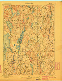
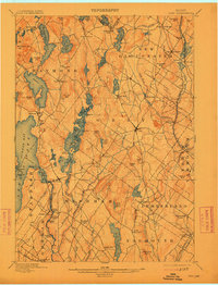
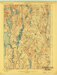
Other maps of this area

1891 · Portland
USGS Topo · 1:62,500

1891 · Buxton
USGS Topo · 1:62,500

1892 · Freeport
USGS Topo · 1:62,500

1892 · Buxton
USGS Topo · 1:62,500

1893 · Portland
USGS Topo · 1:62,500

1893 · Casco Bay
USGS Topo · 1:62,500

1893 · Buxton
USGS Topo · 1:62,500

1894 · Gray
USGS Topo · 1:62,500

1896 · Norway
USGS Topo · 1:62,500

1896 · Sebago
USGS Topo · 1:62,500