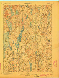
1898 Map of Gray
USGS Topo · Published 1908About this map
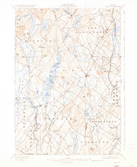
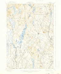
Sabbathday Lake and the surrounding highlands of New Gloucester define the northern reaches of this late-19th-century landscape. The topography reveals a region deeply shaped by its glacial past, with numerous kettle ponds and ridges like Rattlesnake Mt. and Gloucester Hill interspersed with small agricultural and industrial hamlets. The eastern corridor is dominated by the Grand Trunk Railroad, while the Maine Central R.R. services the southern townships, including Cumberland Center and North Falmouth.
Find a feature on this map
109 named features on this map. Tap any name to fly to it.
Don’t see what you’re looking for? This feature index may not catch every label — zoom into the map to look around manually.
Map Details
Editions of this 1898 Gray Map
7 editions found

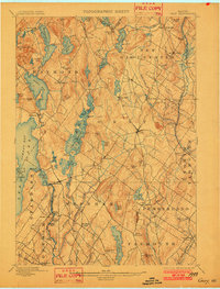
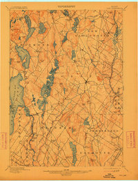
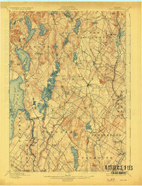
Other maps of this area

1891 · Portland
USGS Topo · 1:62,500

1891 · Buxton
USGS Topo · 1:62,500

1892 · Freeport
USGS Topo · 1:62,500

1892 · Buxton
USGS Topo · 1:62,500

1893 · Portland
USGS Topo · 1:62,500

1893 · Casco Bay
USGS Topo · 1:62,500

1893 · Buxton
USGS Topo · 1:62,500

1894 · Gray
USGS Topo · 1:62,500

1896 · Norway
USGS Topo · 1:62,500

1896 · Sebago
USGS Topo · 1:62,500