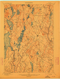
1898 Map of Gray
USGS Topo · Published 1913About this map
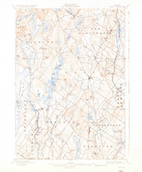
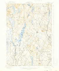
Jordan Bay Lake Sebago dominates the western edge of this landscape, its waters feeding the Presumpscot River as it winds south through North Windham. The late nineteenth-century geography is defined by a network of rural settlements and milling sites, with Webbs Mills and Dry Mills suggesting the area's early water-powered industries. To the east, the transportation corridor is firmly established by the Grand Trunk Railroad and the Maine Central R. R., which connect inland towns like New Gloucester and Cumberland Center to larger regional markets. The topography is dotted with family-named landmarks such as Tarkiln Hill and Adams Hill, while Sabbathday Lake and its neighboring Sabbathday Pond reflect the quiet, interior character of the Cumberland County countryside before the widespread arrival of the automobile. Localized hubs like Wilson Springs and Windham Center serve as anchors for the agricultural and residential districts spread between the rocky hills.
Find a feature on this map
96 named features on this map. Tap any name to fly to it.
Don’t see what you’re looking for? This feature index may not catch every label — zoom into the map to look around manually.
Map Details
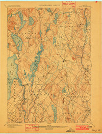
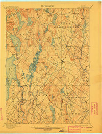
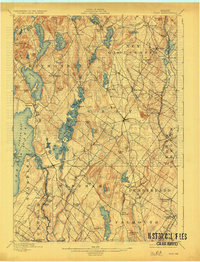
Editions of this 1898 Gray Map
7 editions found

Other maps of this area

1891 · Portland
USGS Topo · 1:62,500

1891 · Buxton
USGS Topo · 1:62,500

1892 · Freeport
USGS Topo · 1:62,500

1892 · Buxton
USGS Topo · 1:62,500

1893 · Portland
USGS Topo · 1:62,500

1893 · Casco Bay
USGS Topo · 1:62,500

1893 · Buxton
USGS Topo · 1:62,500

1894 · Gray
USGS Topo · 1:62,500

1896 · Norway
USGS Topo · 1:62,500

1896 · Sebago
USGS Topo · 1:62,500