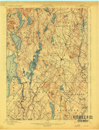
1898 Map of Gray
USGS Topo · Published 1927About this map
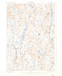
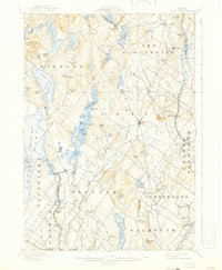
Jordan Bay Lake Sebago and the Sebago Lake Basin anchor the western edge of this topographic study, reflecting an era where water power and rail transit defined the Maine interior. The landscape is marked by the industrial footprints of Webbs Mills and Rattlesnake Mills, while the Grand Trunk Railroad and Maine Central R. R. carve distinct paths through the hills of New Gloucester and Falmouth. Local life centered around hubs like Gray, Sabbathday Lake, and Windham Center, connected by a network of brooks and ponds. The Presumpscot River is particularly notable for its sequence of cataracts including Steep Falls, Great Falls, and Dundee Falls, which provided the necessary drop for early manufacturing. From the elevations of Gloucester Hills to the marshes around Little Duck Pond, the geography reveals a transition from rugged upland farming to river-based industry.
Find a feature on this map
99 named features on this map. Tap any name to fly to it.
Don’t see what you’re looking for? This feature index may not catch every label — zoom into the map to look around manually.
Map Details
Editions of this 1898 Gray Map
7 editions found

Other maps of this area

1891 · Portland
USGS Topo · 1:62,500

1891 · Buxton
USGS Topo · 1:62,500

1892 · Freeport
USGS Topo · 1:62,500

1892 · Buxton
USGS Topo · 1:62,500

1893 · Portland
USGS Topo · 1:62,500

1893 · Casco Bay
USGS Topo · 1:62,500

1893 · Buxton
USGS Topo · 1:62,500

1894 · Gray
USGS Topo · 1:62,500

1896 · Norway
USGS Topo · 1:62,500

1896 · Sebago
USGS Topo · 1:62,500