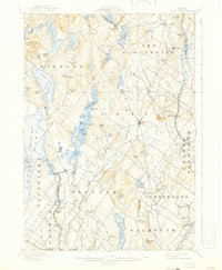
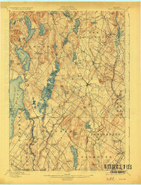
1898 Map of Gray
USGS Topo · Published 1941About this map
New Gloucester and the surrounding villages of Cumberland County appear here as they were surveyed in the late 19th century, revealing a landscape defined by glacial lakes and early industrial hubs. The eastern corridor is dominated by the strategic alignment of the Grand Trunk Railroad and the Maine Central R. R., which connected settlements like Cumberland Station and Intervale to the broader New England economy. This era precedes the major expansions of the 20th century, showing a network of rural roads connecting scattered farmsteads and small manufacturing sites like Webbs Mills and Dry Mills.
Find a feature on this map
107 named features on this map. Tap any name to fly to it.
Don’t see what you’re looking for? This feature index may not catch every label — zoom into the map to look around manually.
Map Details
Editions of this 1898 Gray Map
7 editions found

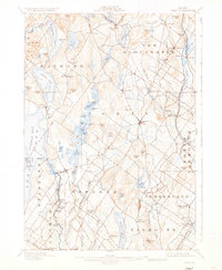
Other maps of this area

1891 · Portland
USGS Topo · 1:62,500

1891 · Buxton
USGS Topo · 1:62,500

1892 · Freeport
USGS Topo · 1:62,500

1892 · Buxton
USGS Topo · 1:62,500

1893 · Portland
USGS Topo · 1:62,500

1893 · Casco Bay
USGS Topo · 1:62,500

1893 · Buxton
USGS Topo · 1:62,500

1894 · Gray
USGS Topo · 1:62,500

1896 · Norway
USGS Topo · 1:62,500

1896 · Sebago
USGS Topo · 1:62,500