
1898 Map of Gray
USGS Topo · Published 1898About this map
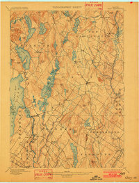
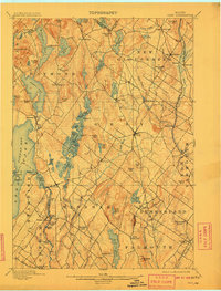
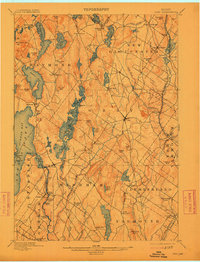
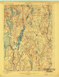
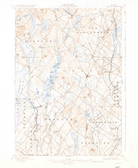
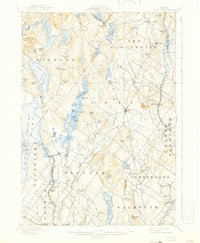
The Royal River and Piscataqua River valleys define this late-nineteenth-century landscape of agricultural villages and rising rail commerce in Cumberland County. At the intersection of prominent regional roads, Gray serves as a central hub between the developing shores of Sebago Lake and the established farming communities to the north. The map captures a moment when traditional water-powered sites like Webbs Mills and Allen Mill Pond coexisted with the expanding industrial reach of the Grand Trunk Railroad and Maine Central R. R., which linked inland settlements like New Gloucester and Cumberland Station to coastal markets. To the west, the rugged elevations of Rattlesnake Mt. and Nubble Hill overlook a network of smaller water bodies, including Raymond Pond and Panther Pond, illustrating the intricate drainage patterns of the coastal plain before modern development altered the rural character of the interior.
Find a feature on this map
105 named features on this map. Tap any name to fly to it.
Don’t see what you’re looking for? This feature index may not catch every label — zoom into the map to look around manually.
Map Details
Editions of this 1898 Gray Map
7 editions found
Other maps of this area

1891 · Portland
USGS Topo · 1:62,500

1891 · Buxton
USGS Topo · 1:62,500

1892 · Freeport
USGS Topo · 1:62,500

1892 · Buxton
USGS Topo · 1:62,500

1893 · Portland
USGS Topo · 1:62,500

1893 · Casco Bay
USGS Topo · 1:62,500

1893 · Buxton
USGS Topo · 1:62,500

1894 · Gray
USGS Topo · 1:62,500

1896 · Norway
USGS Topo · 1:62,500

1896 · Sebago
USGS Topo · 1:62,500