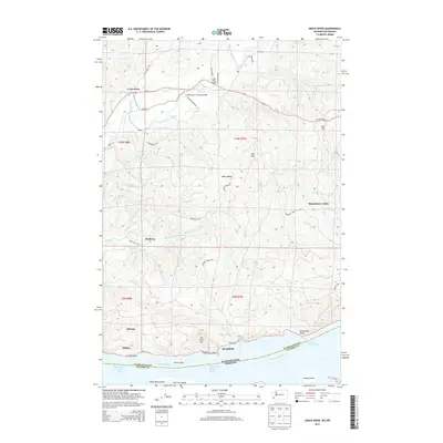
2013 Map of Grays River
USGS Topo · Published 2013About this map
The Grays River Covered Bridge anchors the northern portion of this landscape, where the Grays River winds through a valley of timbered slopes and small settlements. Moving south from Rosburg, the terrain becomes increasingly defined by the complex drainage systems of Crooked Creek and Jim Crow Creek, eventually meeting the expansive waters of the Columbia River. Along the riverfront, historic canning and fishing hubs like Altoona and Brookfield sit near the Washington-Oregon state line, tucked between the hills and the tidal flats of Welch Island Reach.
Find a feature on this map
63 named features on this map. Tap any name to fly to it.
Don’t see what you’re looking for? This feature index may not catch every label — zoom into the map to look around manually.
Map Details
Editions of this 2013 Grays River Map
This is the sole edition of this map. No revisions or reprints were ever made.
Other maps of this area

1940 · Svensen
USGS Topo · 1:62,500

1940 · Brookfield
USGS Topo · 1:62,500

1941 · Skamokawa
USGS Topo · 1:62,500

1941 · Cathlamet
USGS Topo · 1:62,500

1949 · Upper Naselle River
USGS Topo · 1:24,000

1949 · Cathlamet Bay
USGS Topo · 1:24,000

1949 · Rosburg
USGS Topo · 1:24,000

1953 · Hoquiam
USGS Topo · 1:250,000

1953 · Skamokawa
USGS Topo · 1:62,500

1953 · Cathlamet
USGS Topo · 1:62,500