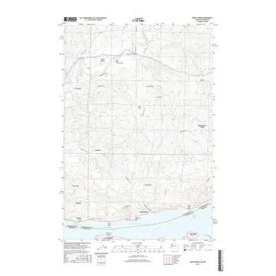
2017 Map of Grays River
USGS Topo · Published 2017About this map
Grays River winds through a landscape of timbered hills and fertile valleys in this modern survey of Wahkiakum County. The area is defined by its connection to the water, where the river meets the Columbia River at the Welch Island Reach. Notable for its local history and rural character, the map highlights the Grays River Covered Bridge, a significant landmark for the community of Grays River. Along the northern banks of the Columbia, historical fishing and cannery sites like Altoona, Dahlia, and Brookfield are documented, alongside distinctive river features such as Pillar Rock and Jim Crow Point. Inland, the terrain rises toward Elk Mtn and KM Mtn, with smaller settlements like Rosburg and Eden Valley tucked into the drainage basins of Crooked Cr and its various forks.
Find a feature on this map
64 named features on this map. Tap any name to fly to it.
Don’t see what you’re looking for? This feature index may not catch every label — zoom into the map to look around manually.
Map Details
Editions of this 2017 Grays River Map
This is the sole edition of this map. No revisions or reprints were ever made.
Other maps of this area

1940 · Svensen
USGS Topo · 1:62,500

1940 · Brookfield
USGS Topo · 1:62,500

1941 · Skamokawa
USGS Topo · 1:62,500

1941 · Cathlamet
USGS Topo · 1:62,500

1949 · Upper Naselle River
USGS Topo · 1:24,000

1949 · Cathlamet Bay
USGS Topo · 1:24,000

1949 · Rosburg
USGS Topo · 1:24,000

1953 · Hoquiam
USGS Topo · 1:250,000

1953 · Skamokawa
USGS Topo · 1:62,500

1953 · Cathlamet
USGS Topo · 1:62,500