2023 Map of Grays River
USGS Topo · Published 2023About this map
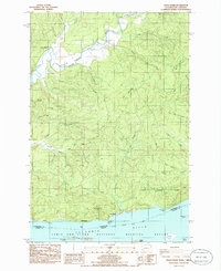
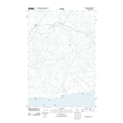
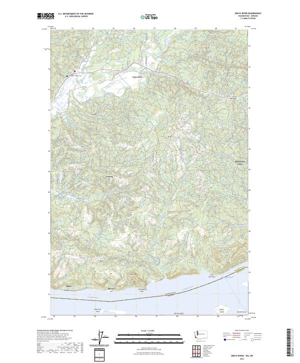
Grays River and the small settlements of Rosburg and Dahlia define the lower Columbia River landscape at the border of Wahkiakum and Clatsop counties. This area is characterized by the complex drainage systems of Crooked Creek and the West Fork Grays River, which flow south toward the expansive estuary and islands of the Lewis and Clark National Wildlife Refuge. The map details a transition from the riverfront landings at Altoona and Brookfield Point to the high elevations of KM Mtn and Elk Mtn.
Find a feature on this map
59 named features on this map. Tap any name to fly to it.
Don’t see what you’re looking for? This feature index may not catch every label — zoom into the map to look around manually.
Map Details
Editions of this 2023 Grays River Map
This is the sole edition of this map. No revisions or reprints were ever made.
Historical Maps of Grays River Through Time
7 maps found