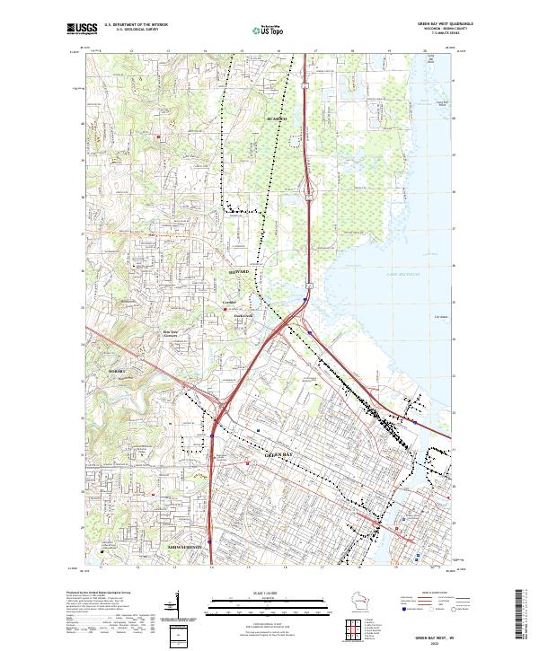
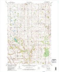
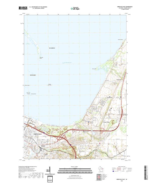
2022 Map of Green Bay West
USGS Topo · Published 2022About this map
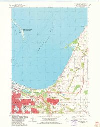
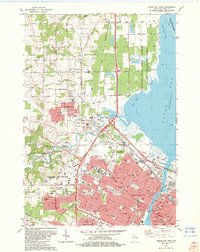
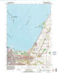
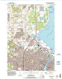
Green Bay and its western suburbs appear here along the southwestern shores of Lake Michigan. The landscape is defined by the convergence of the Fox River and East River, which flow through the heart of the city past the Brown County Courthouse. To the north, the shoreline features distinctive landforms like Long Tail Point and Cat Island, while the interior transitions from dense urban grids to the suburban and rural layouts of Howard, Hobart, and Ashwaubenon.
Find a feature on this map
48 named features on this map. Tap any name to fly to it.
Don’t see what you’re looking for? This feature index may not catch every label — zoom into the map to look around manually.
Map Details
Editions of this 2022 Green Bay West Map
This is the sole edition of this map. No revisions or reprints were ever made.
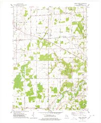
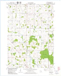
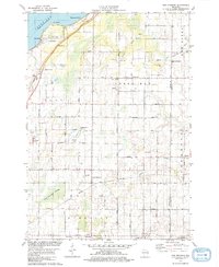
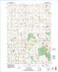
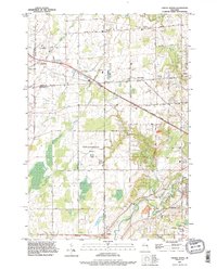
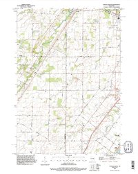
Historical Maps of Elm Tree Corners Through Time
22 maps found
1954 Green Bay East
Brown County, WI
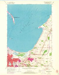
1954 Green Bay West
Brown County, WI
1954 New Franken
Brown County, WI
1974 Oneida North
Brown County, WI

1974 Oneida South
Brown County, WI
1978 Morrison
Brown County, WI
1978 New Franken
Brown County, WI
1978 Poland
Brown County, WI
1982 Green Bay East
Brown County, WI
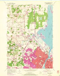
1982 Green Bay West
Brown County, WI
1992 Green Bay East
Brown County, WI
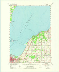
1992 Green Bay West
Brown County, WI
1992 Morrison
Brown County, WI
1992 Oneida North
Brown County, WI
1992 Oneida South
Brown County, WI
2022 Green Bay East
Brown County, WI
2022 Green Bay West
Brown County, WI
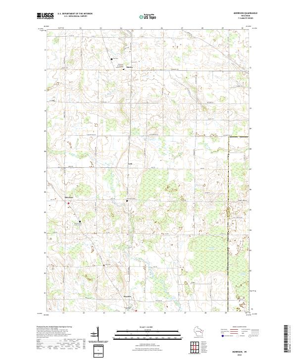
2022 Morrison
Brown County, WI
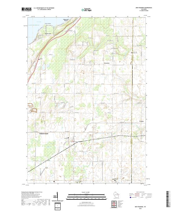
2022 New Franken
Brown County, WI
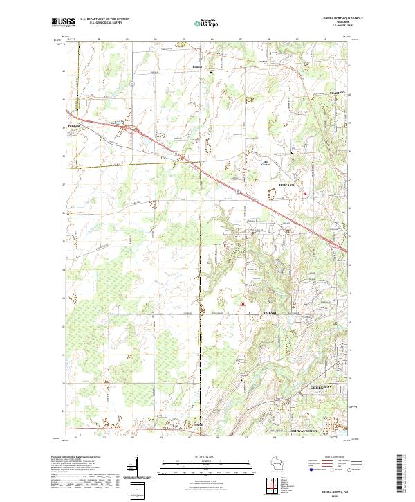
2022 Oneida North
Brown County, WI
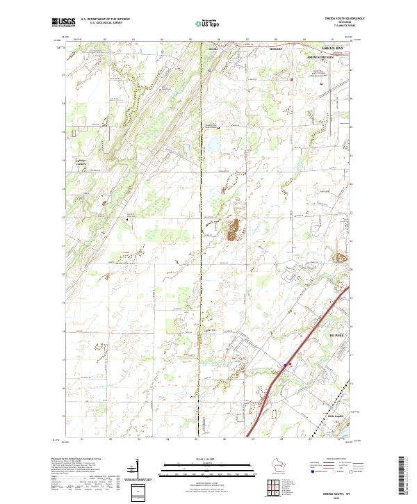
2022 Oneida South
Brown County, WI
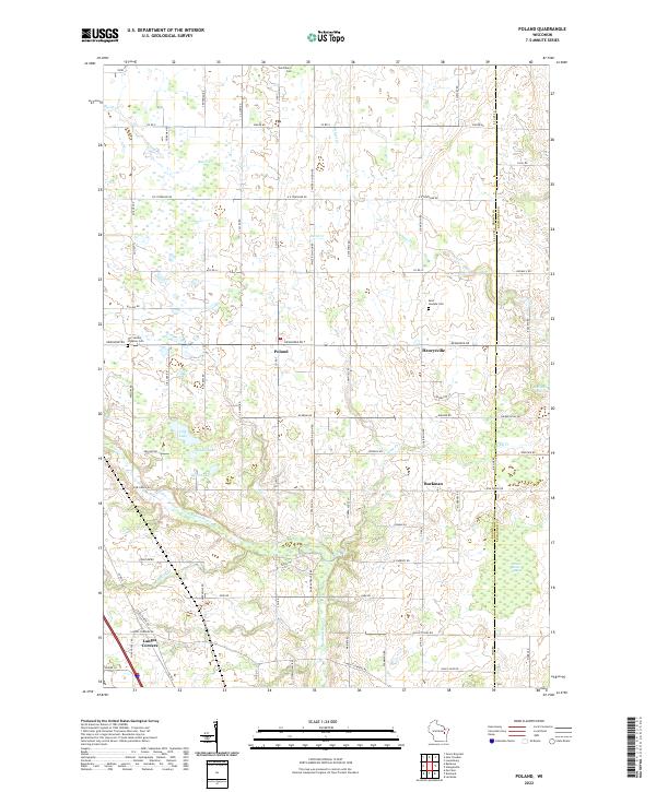
2022 Poland
Brown County, WI