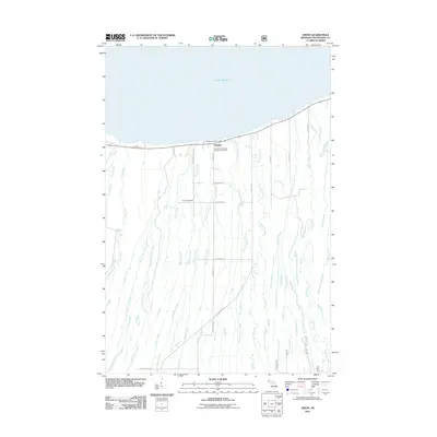
2011 Map of Green
USGS Topo · Published 2011About this map
Green sits on the southern shore of Lake Superior in the Upper Peninsula, serving as the primary coastal settlement for this stretch of Ontonagon County. The landscape is defined by a dense network of northward-flowing waterways that drain into the great lake, including the Potato River, Cranberry River, and Little Cranberry River. The mapping reveals a rural community structured by a grid of local roads such as Town Line Rd and Quartz Rd, reflecting the region’s agricultural and timber heritage. Notable local institutions like the Carp Lake School and the Finnish Evangelical Lutheran Cemetery provide clear evidence of the area's social history and the specific ethnic heritage of the settlers who established these townships. Travel through the corridor is anchored by m64, which follows the shoreline and provides access to the Green Park Picnic Area.
Find a feature on this map
36 named features on this map. Tap any name to fly to it.
Don’t see what you’re looking for? This feature index may not catch every label — zoom into the map to look around manually.
Map Details
Editions of this 2011 Green Map
This is the sole edition of this map. No revisions or reprints were ever made.
Other maps of this area

1949 · Matchwood NW
USGS Topo · 1:24,000

1949 · White Pine
USGS Topo · 1:24,000

1949 · Bergland NE
USGS Topo · 1:24,000

1955 · Ontonagon
USGS Topo · 1:62,500

1956 · Bergland NE
USGS Topo · 1:24,000

1956 · Bergland
USGS Topo · 1:62,500

1956 · White Pine
USGS Topo · 1:24,000

1956 · Matchwood NW
USGS Topo · 1:24,000

1956 · White Pine
USGS Topo · 1:62,500

1956 · Matchwood
USGS Topo · 1:62,500