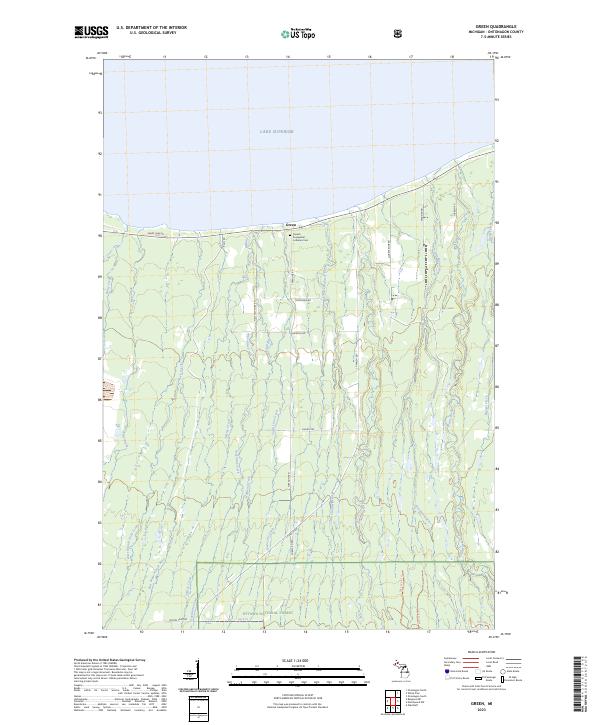
2023 Map of Green
USGS Topo · Published 2023About this map
The settlement of Green sits along the southern shore of Lake Superior, serving as a focal point for this coastal portion of Ontonagon County. A significant local landmark, the Finnish Evangelical Lutheran Cem, reflects the cultural heritage of the community near the junction of Shady Lane Rd and Townline Rd. The landscape south of the coast is dominated by the dense woodlands of the Ottawa National Forest, where a network of forest roads and trails provides access to the interior.
Find a feature on this map
40 named features on this map. Tap any name to fly to it.
Don’t see what you’re looking for? This feature index may not catch every label — zoom into the map to look around manually.
Map Details
Editions of this 2023 Green Map
This is the sole edition of this map. No revisions or reprints were ever made.
Other maps of this area

1949 · Matchwood NW
USGS Topo · 1:24,000

1949 · White Pine
USGS Topo · 1:24,000

1949 · Bergland NE
USGS Topo · 1:24,000

1955 · Ontonagon
USGS Topo · 1:62,500

1956 · Bergland NE
USGS Topo · 1:24,000

1956 · Bergland
USGS Topo · 1:62,500

1956 · White Pine
USGS Topo · 1:24,000

1956 · Matchwood NW
USGS Topo · 1:24,000

1956 · White Pine
USGS Topo · 1:62,500

1956 · Matchwood
USGS Topo · 1:62,500