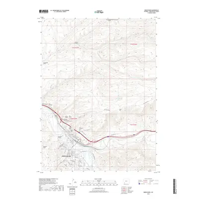
2018 Map of Green River
USGS Topo · Published 2018About this map
Green River occupies a strategic bend of the Green River, anchored by a grid of streets such as Uinta Dr and W Flaming Gorge Way. This 2018 survey documents the city's relationship with its dramatic geological surroundings, where the landscape is defined by iconic formations like Tollgate Rock and Castle Rock to the north and east. The city's northern expansion is bounded by the steep ascent of White Mtn, while the Riverview Cem overlooks the valley from a terrace above the main rail corridor.
Find a feature on this map
61 named features on this map. Tap any name to fly to it.
Don’t see what you’re looking for? This feature index may not catch every label — zoom into the map to look around manually.
Map Details
Editions of this 2018 Green River Map
This is the sole edition of this map. No revisions or reprints were ever made.
Other maps of this area

1954 · Rock Springs
USGS Topo · 1:250,000

1957 · Mc Kinnon Junction
USGS Topo · 1:62,500

1957 · Firehole Basin
USGS Topo · 1:62,500

1958 · Rock Springs
USGS Topo · 1:250,000

1961 · Scott Spring
USGS Topo · 1:24,000

1961 · Peru
USGS Topo · 1:24,000

1961 · Pilot Butte
USGS Topo · 1:24,000

1961 · Austin Ranch
USGS Topo · 1:24,000

1961 · Kanda
USGS Topo · 1:24,000

1961 · Green River
USGS Topo · 1:24,000