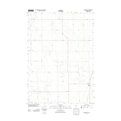
2013 Map of Green Valley
USGS Topo · Published 2013About this map
Green Valley sits at the junction of agricultural life and the natural waterways of Lyon County in this 2013 survey. The landscape is defined by the managed hydrology of the region, where numerous drainage systems like County Ditch Number Fifteen and County Ditch Number Thirtytwo feed into natural watercourses. The drainage of the Yellow Medicine River in the northwest and the Redwood River in the southeast underscores the importance of water management to the local prairie economy. The map illustrates a meticulously planned grid of rural roads, including 390th St and 310th St, which facilitate movement across this productive Minnesota terrain. The small community of Green Valley remains a focal point along the state highway corridor, serving as a primary settlement for the surrounding farms and homesteads.
Find a feature on this map
18 named features on this map. Tap any name to fly to it.
Don’t see what you’re looking for? This feature index may not catch every label — zoom into the map to look around manually.
Map Details
Editions of this 2013 Green Valley Map
This is the sole edition of this map. No revisions or reprints were ever made.
Other maps of this area
1953 · New Ulm
USGS Topo · 1:250,000
1957 · New Ulm
USGS Topo · 1:250,000
1958 · New Ulm
USGS Topo · 1:250,000
1962 · Wood Lake NW
USGS Topo · 1:24,000
1962 · Dudley
USGS Topo · 1:24,000
1962 · Cottonwood
USGS Topo · 1:24,000
1963 · Lynd
USGS Topo · 1:24,000
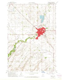
1963 · Marshall
USGS Topo · 1:24,000
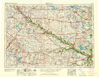
1967 · New Ulm
USGS Topo · 1:250,000
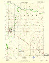
1967 · Minneota
USGS Topo · 1:24,000