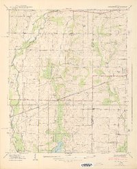
1938 Map of Greenbrier
USGS Topo · Published 1938About this map
Limestone Creek and its complex network of tributaries, including Beaverdam Creek and Bradford Creek, dominate this late-1930s landscape along the border of Limestone and Madison Counties. The area shows a transition from traditional rural agriculture to the modern influences of the Tennessee Valley Authority, with the southern reaches of the map shaped by the newly formed Wheeler Reservoir. Smaller communities and crossroads such as Burgreen Corner, Oakland, and Manley Crossroad are scattered throughout, supported by a system of country schools like Mt Pleasant Sch and Maple Grove Sch. The Southern Railroad provides the primary industrial backbone, connecting the settlements of Belle Mina, Greenbrier, and Madison. Local landmarks, including St James Ch, Moseys Chapel, and the Betz Spring, highlight the established social and natural points of interest in this North Alabama region.
Find a feature on this map
36 named features on this map. Tap any name to fly to it.
Don’t see what you’re looking for? This feature index may not catch every label — zoom into the map to look around manually.
Map Details
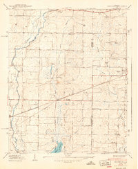
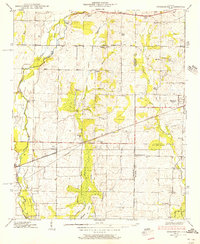
Editions of this 1938 Greenbrier Map
3 editions found
Other maps of this area

1888 · Huntsville
USGS Topo · 1:125,000

1892 · Huntsville
USGS Topo · 1:125,000

1935 · Athens
USGS Topo · 1:24,000

1936 · Jeff
USGS Topo · 1:24,000

1936 · Capshaw
USGS Topo · 1:24,000

1936 · Triana
USGS Topo · 1:24,000

1936 · Madison
USGS Topo · 1:24,000

1936 · Decatur
USGS Topo · 1:24,000

1936 · Mason Ridge
USGS Topo · 1:24,000

1936 · Tanner
USGS Topo · 1:24,000