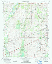
1975 Map of Greenbrier
USGS Topo · Published 1991About this map
Beaverdam Swamp and the expansive Wheeler National Wildlife Refuge dominate the low-lying terrain of this mid-1970s landscape, where the wetlands of the Tennessee River valley meet the growing urban edge of Madison. The industrial and transportation infrastructure of the era is clearly defined by the Huntsville Madison County Airport and the path of the Southern Railway, which connects small agricultural hubs like Belle Mina and Greenbrier.
Find a feature on this map
58 named features on this map. Tap any name to fly to it.
Don’t see what you’re looking for? This feature index may not catch every label — zoom into the map to look around manually.
Map Details
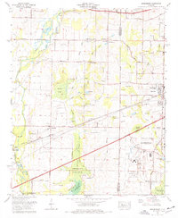
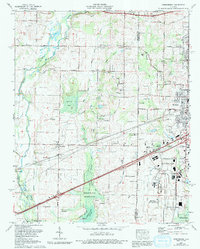
Editions of this 1975 Greenbrier Map
3 editions found
Other maps of this area

1888 · Huntsville
USGS Topo · 1:125,000

1892 · Huntsville
USGS Topo · 1:125,000

1935 · Athens
USGS Topo · 1:24,000

1936 · Jeff
USGS Topo · 1:24,000

1936 · Capshaw
USGS Topo · 1:24,000

1936 · Triana
USGS Topo · 1:24,000

1936 · Madison
USGS Topo · 1:24,000

1936 · Decatur
USGS Topo · 1:24,000

1936 · Mason Ridge
USGS Topo · 1:24,000

1936 · Tanner
USGS Topo · 1:24,000