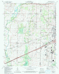
1975 Map of Greenbrier
USGS Topo · Published 1993About this map
Beaverdam Swamp and the dense wetlands of the Wheeler National Wildlife Refuge define the southern landscape of this 1970s survey, illustrating the complex hydrology near the Tennessee River. In the fertile transition to the uplands, small agricultural settlements like Greenbrier and Belle Mina are connected by the Southern railroad and the Joe Wheeler Highway. The map reveals a high density of family and community landmarks, including Burgreen Gin and numerous small houses of worship such as Oakland Ch and Temple Ch. To the east, the encroaching corporate boundary of Huntsville and the expansion of Madison signal the region's shift from rural cotton-growing country to a suburban and industrial corridor. Local history is deeply etched into the land here through sites like Hundley Cem and Woodsides Cem, which remain as quiet anchors amid the changing terrain.
Find a feature on this map
60 named features on this map. Tap any name to fly to it.
Don’t see what you’re looking for? This feature index may not catch every label — zoom into the map to look around manually.
Map Details
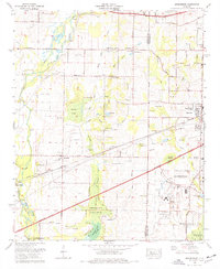
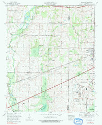
Editions of this 1975 Greenbrier Map
3 editions found
Other maps of this area

1888 · Huntsville
USGS Topo · 1:125,000

1892 · Huntsville
USGS Topo · 1:125,000

1935 · Athens
USGS Topo · 1:24,000

1936 · Jeff
USGS Topo · 1:24,000

1936 · Capshaw
USGS Topo · 1:24,000

1936 · Triana
USGS Topo · 1:24,000

1936 · Madison
USGS Topo · 1:24,000

1936 · Decatur
USGS Topo · 1:24,000

1936 · Mason Ridge
USGS Topo · 1:24,000

1936 · Tanner
USGS Topo · 1:24,000