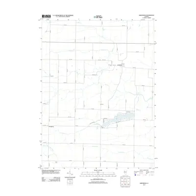
2012 Map of Greenbush
USGS Topo · Published 2012About this map
The settlement of Greenbush anchors this section of Warren County, where a grid of rural roads connects historic family burying grounds across an agricultural landscape. The township is characterized by numerous small graveyards, including Pierce Cem, Greenbush Cem, and Bond Cem, which serve as vital markers for local genealogical research. In the southwest, Youngstown sits near the headwaters of Little Swan Cr, while the eastern portion of the map is dominated by the recreational waters of Little Swan Lake.
Find a feature on this map
54 named features on this map. Tap any name to fly to it.
Don’t see what you’re looking for? This feature index may not catch every label — zoom into the map to look around manually.
Map Details
Editions of this 2012 Greenbush Map
This is the sole edition of this map. No revisions or reprints were ever made.
Other maps of this area

1915 · Avon
USGS Topo · 1:62,500

1916 · Good Hope
USGS Topo · 1:62,500

1918 · Good Hope
USGS Topo · 1:62,500

1921 · Monmouth
USGS Topo · 1:62,500

1923 · Monmouth
USGS Topo · 1:62,500

1925 · Galesburg
USGS Topo · 1:62,500

1927 · Galesburg
USGS Topo · 1:62,500

1944 · Avon
USGS Topo · 1:62,500

1958 · Burlington
USGS Topo · 1:250,000

1961 · Burlington
USGS Topo · 1:250,000