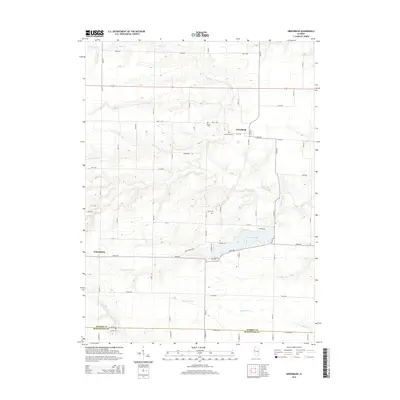
2015 Map of Greenbush
USGS Topo · Published 2015About this map
Greenbush and Youngstown anchor this agricultural landscape along the border of Warren and McDonough counties. The terrain is defined by a dense network of drainage systems, including the intricately branched Swan Creek and the meandering Drowning Fork to the south. The presence of several family-named burial sites, such as Pierce Cem, Bond Cem, and McMahill Cem, provides a map for genealogists tracing early settlement patterns in this part of Illinois. A significant reservoir, Little Swan Lake, breaks the grid of rural roads near 23rd Ave, reflecting how modern water management has shaped the local topography alongside natural features like the N Fork La Moine River. The strictly rectangular road grid, including Greenbush Rd and Wolf Rd, underscores the enduring influence of the Public Land Survey System on the regional layout.
Find a feature on this map
59 named features on this map. Tap any name to fly to it.
Don’t see what you’re looking for? This feature index may not catch every label — zoom into the map to look around manually.
Map Details
Editions of this 2015 Greenbush Map
This is the sole edition of this map. No revisions or reprints were ever made.
Other maps of this area

1915 · Avon
USGS Topo · 1:62,500

1916 · Good Hope
USGS Topo · 1:62,500

1918 · Good Hope
USGS Topo · 1:62,500

1921 · Monmouth
USGS Topo · 1:62,500

1923 · Monmouth
USGS Topo · 1:62,500

1925 · Galesburg
USGS Topo · 1:62,500

1927 · Galesburg
USGS Topo · 1:62,500

1944 · Avon
USGS Topo · 1:62,500

1958 · Burlington
USGS Topo · 1:250,000

1961 · Burlington
USGS Topo · 1:250,000