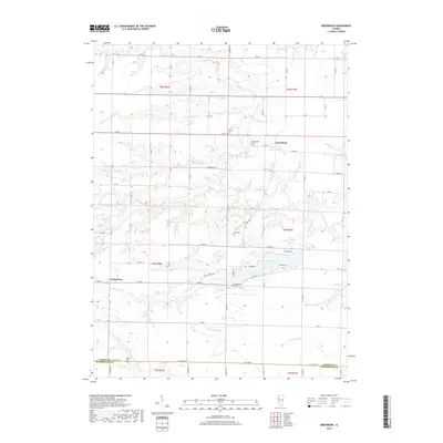
2018 Map of Greenbush
USGS Topo · Published 2018About this map
Greenbush and Youngstown anchor this rural Illinois landscape where Warren and McDonough counties meet. The area is defined by a dense network of creek systems, including Swan Creek and the curiously named Drowning Fork, which carve through the agricultural grid. This 2018 survey reveals a high concentration of small family and community burial grounds like Pierce Cem, Bond Cem, and McMahill Cem, providing critical touchpoints for genealogists tracing early settlement patterns. Modern recreational features like Little Swan Lake and the nearby Golf Course Rd sit alongside traditional landmarks such as Larkins Cem near the N Fork E Fork La Moine River. The map highlights the transition from the orderly township lines of t9n r2w and t8n r1w to the winding paths of Little Negro Cr and Big Negro Cr.
Find a feature on this map
41 named features on this map. Tap any name to fly to it.
Don’t see what you’re looking for? This feature index may not catch every label — zoom into the map to look around manually.
Map Details
Editions of this 2018 Greenbush Map
This is the sole edition of this map. No revisions or reprints were ever made.
Other maps of this area

1915 · Avon
USGS Topo · 1:62,500

1916 · Good Hope
USGS Topo · 1:62,500

1918 · Good Hope
USGS Topo · 1:62,500

1921 · Monmouth
USGS Topo · 1:62,500

1923 · Monmouth
USGS Topo · 1:62,500

1925 · Galesburg
USGS Topo · 1:62,500

1927 · Galesburg
USGS Topo · 1:62,500

1944 · Avon
USGS Topo · 1:62,500

1958 · Burlington
USGS Topo · 1:250,000

1961 · Burlington
USGS Topo · 1:250,000