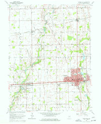
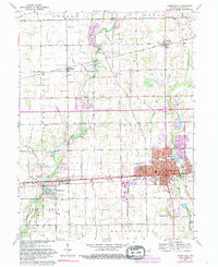
1962 Map of Greenfield
USGS Topo · Published 1964About this map
Greenfield serves as a major hub for Hancock County transportation in the early 1960s, defined by the intersection of the National Road and the Pennsylvania Railroad. The city grid shows a concentration of civic life around the Courthouse, City Hall, and Memorial Hospital, while smaller rail-aligned settlements like Mohawk and Maxwell punctuate the northern agricultural landscape. The township boundaries of Vernon, Center, Green, and Brandywine organize a countryside dominated by a dense network of drainage canals, including Potts Ditch and Fuller Ditch, which redirect water into Sugar Creek and Brandywine Creek. Numerous family-named burial grounds like Wiles Cem, Alford Cem, and Reeves Cem are scattered throughout these townships, offering significant details for genealogists tracing early residents. Industrial activity is visible in the clusters of Gravel Pits north of town and the presence of massive Storage Bins near the railroad lines.
Find a feature on this map
63 named features on this map. Tap any name to fly to it.
Don’t see what you’re looking for? This feature index may not catch every label — zoom into the map to look around manually.
Map Details
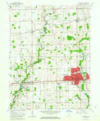
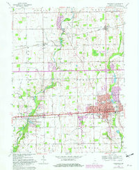
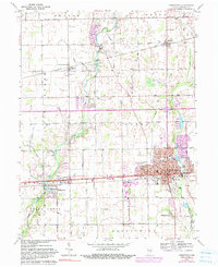
Editions of this 1962 Greenfield Map
5 editions found
Other maps of this area

1952 · Cumberland
USGS Topo · 1:24,000

1952 · Greenfield
USGS Topo · 1:24,000

1952 · Fountaintown
USGS Topo · 1:24,000

1952 · Ingalls
USGS Topo · 1:24,000

1952 · Mc Cordsville
USGS Topo · 1:24,000

1953 · Acton
USGS Topo · 1:24,000

1953 · Pendleton
USGS Topo · 1:24,000

1953 · Cincinnati
USGS Topo · 1:250,000

1956 · Cleveland
USGS Topo · 1:24,000

1956 · Morristown
USGS Topo · 1:24,000