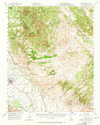
1957 Map of Greenfield
USGS Topo · Published 1965About this map
Pinnacles National Monument dominates the northeastern landscape of this mid-century survey, revealing the striking volcanic spires and peaks of the Gabilan Range. From North Chalone Peak down to the valley floor, the map documents a transition from protected wilderness to the intensive agricultural development of the Salinas River basin. The town of Greenfield is shown at a point of growth, with its grid of residential streets like Elm Ave and Walnut Ave contrasting with the sprawling ranches and alluvial plains of Llano de los Ositos. The Southern Pacific railroad and Highway 101 serve as the primary conduits for the region's agricultural economy, connecting remote outposts like Metz, Coburn, and Elsa to larger markets. This edition, revised from earlier planetable surveys and aerial photography, captures the early footprint of the Airline Highway and various named homesteads including Sands Ranch and Breen Ranch.
Find a feature on this map
62 named features on this map. Tap any name to fly to it.
Don’t see what you’re looking for? This feature index may not catch every label — zoom into the map to look around manually.
Map Details
Editions of this 1957 Greenfield Map
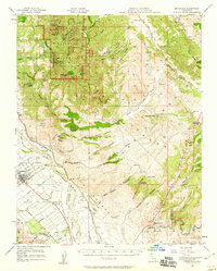
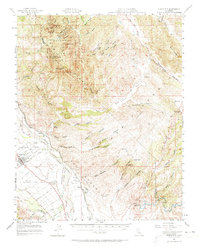
3 editions found
Other maps of this area

1912 · Metz
USGS Topo · 1:31,680

1913 · Panoche
USGS Topo · 1:125,000

1915 · Soledad
USGS Topo · 1:62,500

1915 · Priest Valley
USGS Topo · 1:125,000

1919 · King City
USGS Topo · 1:62,500

1919 · San Benito
USGS Topo · 1:62,500

1919 · Junipero Serra
USGS Topo · 1:62,500

1921 · Gonzales
USGS Topo · 1:62,500

1921 · Metz
USGS Topo · 1:62,500

1931 · San Benito
USGS Topo · 1:62,500