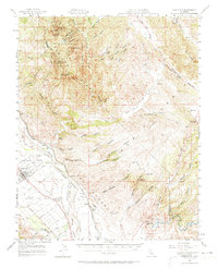
1957 Map of Greenfield
USGS Topo · Published 1973About this map
Pinnacles National Monument dominates the rugged northern landscape of this mid-century survey, showcasing iconic landmarks such as North Chalone Peak, The Fingers, and Mt Defiance. The eastern half of the map is defined by family-named holdings and ranching lands, including Sands Ranch, Breen Ranch, and Mathews Ranch, which are tucked between the Dry Lake Valley and the steep ridges of the Gabilan Range. These cattle-country features contrast sharply with the industrial and agricultural activity along the Salinas River corridor to the west.
Find a feature on this map
63 named features on this map. Tap any name to fly to it.
Don’t see what you’re looking for? This feature index may not catch every label — zoom into the map to look around manually.
Map Details
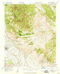
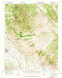
Editions of this 1957 Greenfield Map
3 editions found
Other maps of this area

1912 · Metz
USGS Topo · 1:31,680

1913 · Panoche
USGS Topo · 1:125,000

1915 · Soledad
USGS Topo · 1:62,500

1915 · Priest Valley
USGS Topo · 1:125,000

1919 · King City
USGS Topo · 1:62,500

1919 · San Benito
USGS Topo · 1:62,500

1919 · Junipero Serra
USGS Topo · 1:62,500

1921 · Gonzales
USGS Topo · 1:62,500

1921 · Metz
USGS Topo · 1:62,500

1931 · San Benito
USGS Topo · 1:62,500