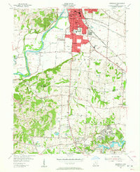
1955 Map of Greenhills
USGS Topo · Published 1957About this map
The Miami River corridor defines the western edge of this 1950s survey, where the river winds past the small community of Fairplay and several riverside gravel pits. To the east, the industrial and residential expansion of Hamilton and Fairfield is evident, centered around the junction of the Baltimore and Ohio Railroad and the Pennsylvania Railroad. This era shows a landscape in transition, where established family landmarks like the Huston Cem and Slaneker Cem sit alongside mid-century developments like the Hamilton Airport and the sprawling Winton Woods park.
Find a feature on this map
64 named features on this map. Tap any name to fly to it.
Don’t see what you’re looking for? This feature index may not catch every label — zoom into the map to look around manually.
Map Details
Editions of this 1955 Greenhills Map
2 editions found
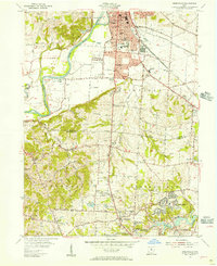
Other maps of this area

1898 · East Cincinnati
USGS Topo · 1:62,500

1904 · Mason
USGS Topo · 1:62,500

1906 · Mason
USGS Topo · 1:62,500

1914 · East Cincinnati
USGS Topo · 1:62,500

1914 · West Cincinnati
USGS Topo · 1:62,500

1915 · Hamilton
USGS Topo · 1:62,500

1917 · Hamilton
USGS Topo · 1:62,500
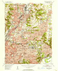
1953 · Cincinnati East
USGS Topo · 1:24,000

1953 · Cincinnati West
USGS Topo · 1:24,000

1953 · Cincinnati
USGS Topo · 1:250,000