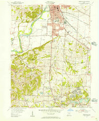
1955 Map of Greenhills
USGS Topo · Published 1957About this map
The Miami River corridor defines the western edge of this mid-1950s landscape, while the community of Greenhills anchors the southeastern corner. This survey highlights a period of suburban transition in Butler and Hamilton Counties, where residential expansion begins to push into traditional farmland. Significant institutional landmarks such as St Francis Seminary and the County Experimental Farms occupy large tracts of land between the growing settlements of Fairfield and Pleasant Run.
Find a feature on this map
82 named features on this map. Tap any name to fly to it.
Don’t see what you’re looking for? This feature index may not catch every label — zoom into the map to look around manually.
Map Details
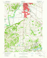
Editions of this 1955 Greenhills Map
2 editions found
Other maps of this area

1898 · East Cincinnati
USGS Topo · 1:62,500

1904 · Mason
USGS Topo · 1:62,500

1906 · Mason
USGS Topo · 1:62,500

1914 · East Cincinnati
USGS Topo · 1:62,500

1914 · West Cincinnati
USGS Topo · 1:62,500

1915 · Hamilton
USGS Topo · 1:62,500

1917 · Hamilton
USGS Topo · 1:62,500
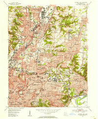
1953 · Cincinnati East
USGS Topo · 1:24,000

1953 · Cincinnati West
USGS Topo · 1:24,000

1953 · Cincinnati
USGS Topo · 1:250,000