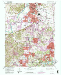
1965 Map of Greenhills
USGS Topo · Published 1982About this map
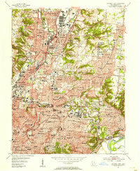
The Great Miami River carves a broad valley through the northwestern portion of this 1965 survey, serving as a boundary for the St Clair and Ross townships. The landscape here is a study in post-war suburban transition, where long-established settlements like Symmes Corner and Pleasant Run are being integrated into the expanding corporate boundaries of Hamilton, Fairfield, and Springdale. The southern portion of the map is dominated by the sprawling Winton Woods and Winton Lake, a significant recreational footprint near the planned community of Greenhills.
Find a feature on this map
119 named features on this map. Tap any name to fly to it.
Don’t see what you’re looking for? This feature index may not catch every label — zoom into the map to look around manually.
Map Details
Editions of this 1965 Greenhills Map
4 editions found
Other maps of this area

1898 · East Cincinnati
USGS Topo · 1:62,500

1904 · Mason
USGS Topo · 1:62,500

1906 · Mason
USGS Topo · 1:62,500

1914 · East Cincinnati
USGS Topo · 1:62,500

1914 · West Cincinnati
USGS Topo · 1:62,500

1915 · Hamilton
USGS Topo · 1:62,500

1917 · Hamilton
USGS Topo · 1:62,500
1953 · Cincinnati East
USGS Topo · 1:24,000

1953 · Cincinnati West
USGS Topo · 1:24,000

1953 · Cincinnati
USGS Topo · 1:250,000